
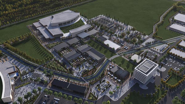
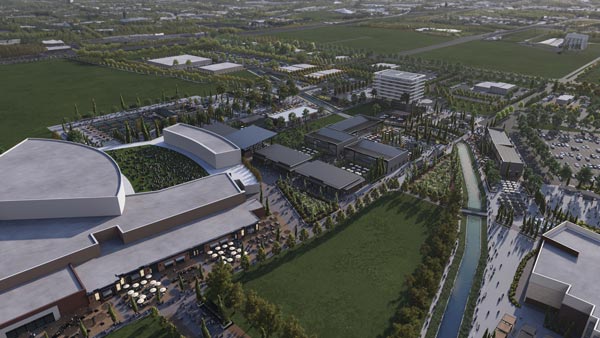


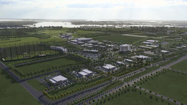
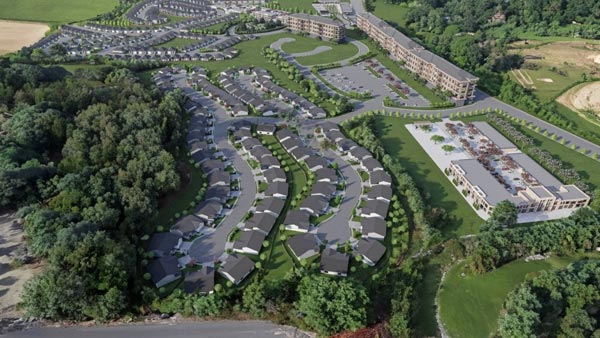
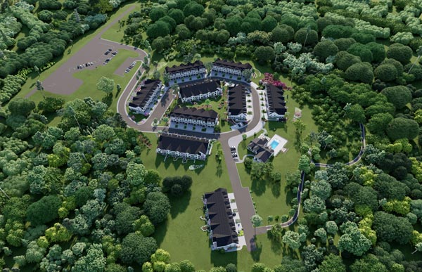

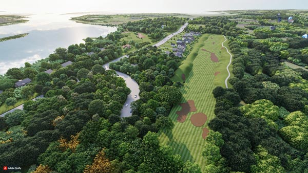

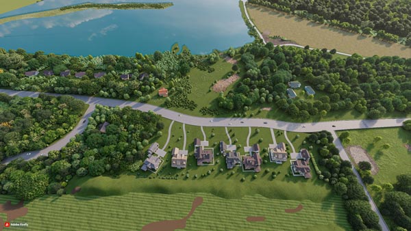


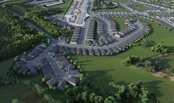
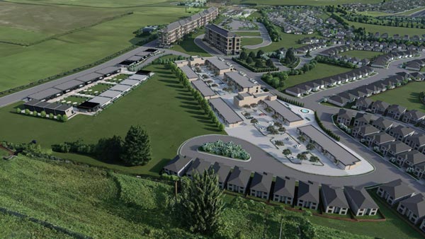
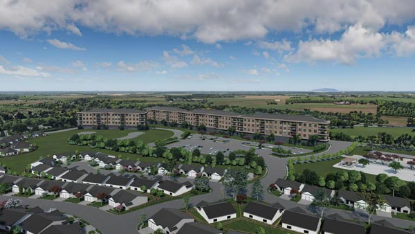


Site Plan Rendering
A site plan, often called a plot plan, serves as a visual blueprint depicting both current and planned enhancements to a site. It functions as a comprehensive map for development projects.
Site plans commonly illustrate structures, roadways, walkways, parking areas, drainage systems, sewer and water lines, lighting, as well as landscaping and garden elements.
3D site plan rendering is primarily employed to vividly demonstrate how the proposed land use interacts with the characteristics of a parcel and its neighboring environment.
“For more information and any questions regarding our services, please contact us by emailing vizlandstudio@gmail.com.”
Date:
December 28, 2020
Category: